

 InfoSearched
Raytheon pulls back the curtain on the sensors and ground systems steering the next generation of American spaceflight.
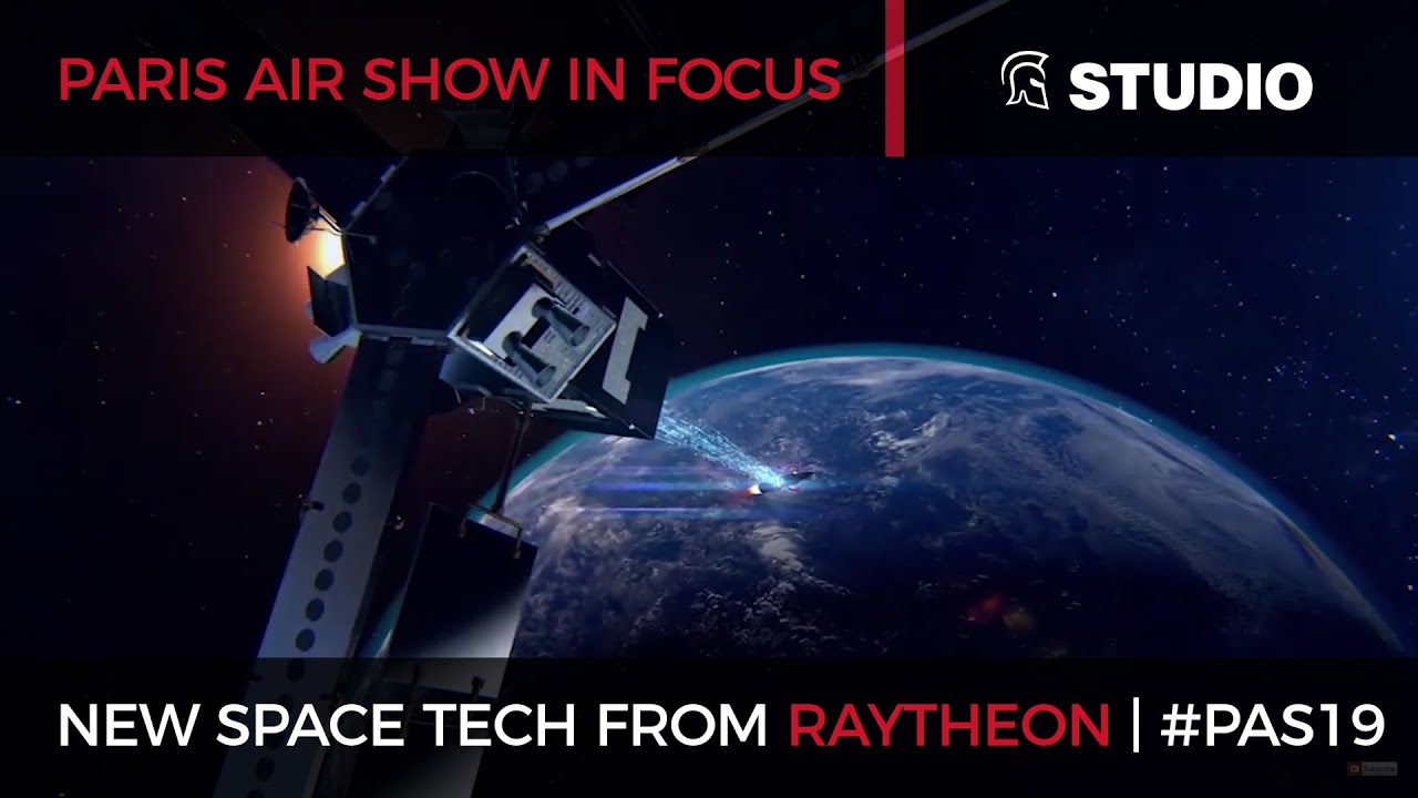
Published in partnership with Raytheon on August 9, 2019, “The next generation of space technology” is sponsored content built around the defense contractor’s actual space portfolio — not habitats, not modular “studios,” but the sensors, satellites, and ground-processing frameworks that turn raw orbital data into usable intelligence. The “(Studio)” tag in the video’s title refers to the production format, a branded studio-style segment, not a piece of hardware. What Raytheon actually showcases is the plumbing behind weather forecasting, missile warning, and space domain awareness.
- The video highlights Raytheon’s Visible Infrared Imaging Radiometer Suite (VIIRS), the flagship active sensing payload flying on the polar-orbiting Joint Polar Satellite System (JPSS).
- Raytheon also operates the JPSS Common Ground System (JPSS CGS), the infrastructure that receives and processes that satellite data on Earth.
- Two additional processing frameworks get featured: the Future Operationally Resilient Ground Evolution (FORGE) Mission Data Processing Application Framework and the Advanced Weather Interactive Processing System (AWIPS), both used to convert satellite feeds into actionable forecasts and defense intelligence.
Core Topics Covered in Video
Raytheon’s sponsored segment walks through the company’s core space-domain business: on-orbit sensors, active and passive Earth-observation instruments, satellite constellation management, and the ground control systems that keep all of it running. That’s a deliberately broad mandate — Raytheon isn’t just building the hardware that flies, it’s building the software and networks on the ground that make the hardware useful once the data comes down.
The centerpiece is VIIRS, a sensor that scans the entire surface of the Earth twice daily from its perch on the JPSS satellites, feeding meteorologists and defense analysts alike. It’s the kind of instrument that doesn’t make headlines on its own but underpins hurricane tracking, wildfire detection, and climate monitoring on a daily basis.
Ground Systems Doing the Heavy Lifting
Sensors in orbit are only half the equation. Raytheon’s JPSS Common Ground System exists to take that VIIRS data and every other JPSS instrument feed and route it to forecasters and government agencies in near real time. Layered on top of that is FORGE, Raytheon’s Mission Data Processing Application Framework, designed to modernize how weather-satellite data gets ingested and processed going forward, and AWIPS, the display and analysis system that meteorologists actually sit in front of when issuing forecasts and warnings.
The showcase frames Raytheon’s next-generation space technology as sensor hardware and space-to-ground data processing — not habitats, not manufacturing platforms, but the systems that turn a satellite pass into a usable forecast or a missile-warning alert.
Anti-Jam and Space Domain Awareness
Beyond weather and Earth observation, the video touches on Raytheon’s work in anti-jam navigation systems and space domain awareness — tracking objects and activity in orbit, a capability that’s become increasingly central to national security as more satellites, and more potential threats to them, crowd low Earth orbit. That kind of readiness overlaps closely with the broader push in military technology to protect the systems the U.S. depends on for both civil and defense operations.
Readers who want the flip side of that story — how satellite sensors built for defense and weather missions end up saving lives in disaster response — can see the same theme play out in How Tech Designed for Space Is Saving Lives on Earth and in how other nations apply similar tools in How Japan is using Space Technology in Natural Disasters.
None of this is speculative concept art — VIIRS is already flying, the JPSS CGS is already processing its data, and AWIPS is already on forecasters’ desks. The next milestone to watch is how FORGE gets rolled out across the ground segment as older processing frameworks age out, since that’s the piece that determines how fast the sensor data actually reaches the people who need it.






First Manned Aerobatic RACING Drone – Will it FLIP? ????
Making a DRIVETRAIN and Installing the Micro V4 ENGINE on the RC Car!
We’ve Found The Magic Frequency (This Will Revolutionize Our Future)
New Brain Computer interface technology | Steve Hoffman | TEDxCEIBS
New medical technology helps nurses insert an IV on the first try